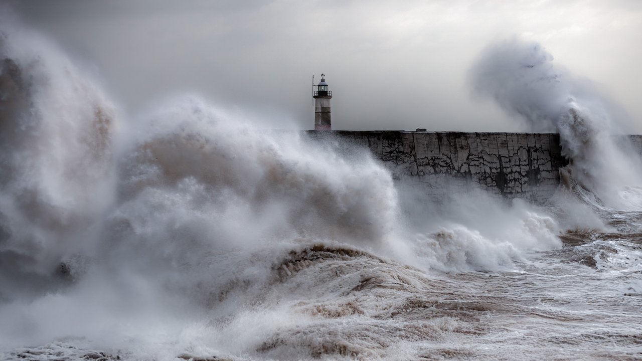
Storm Austen, which BBC News calls the first named storm of the UK storm season, seems set to reach south-west England overnight with gusts that could approach 80 mph on exposed coasts, according to the Met Office. The forecaster’s warnings page shows an amber wind warning for Cornwall, Devon, the Isles of Scilly and Plymouth from 1:00 a.m. to 10:00 a.m. BST on Friday, Oct. 23. The warning text reads: “A spell of very strong northwesterly winds is likely on Friday morning. There is a good chance that gusts of 60-70 mph will develop widely for a time with perhaps some gusts around 80 mph for exposed headlands.” The Met Office rates the amber warning as a high (50–75%) likelihood of significant impact. BBC Weather and PA report the same area, hours and gust range.
The Met Office first issued the amber warning for Cornwall, the Isles of Scilly and parts of West Devon on Wednesday, Oct. 21, according to its press release. Deputy Chief Forecaster Chris Bulmer said then: “While there remains some uncertainty in the exact track of the storm, there is increasing confidence in the potential for disruptive winds across parts of southwest England, which is why an Amber warning has been issued.” On Thursday the Met Office said it had brought the amber start time forward to 1:00 a.m. Friday, widened the yellow warning to cover western Wales, and extended it to end at 5:00 p.m. Friday (Met Office; PA).
Warnings reach far beyond the south-west. The Met Office says a new yellow wind warning covers “a large area of England and Wales” from 10:00 a.m. to 9:00 p.m. Friday, with gusts of 45–55 mph, and a yellow rain warning covers southern and eastern Scotland from 6:00 a.m. Friday to midnight, with 20–40 mm of rain widely and 60–80 mm possible in some places (Met Office; PA). Met Office Chief Forecaster Neil Armstrong said: “With trees in leaf, it is likely fallen branches and trees could obstruct roads and railways so take extra care on the Friday morning commute.” The forecaster’s warnings page shows that at 8:42 p.m. BST on Thursday it moved the start of the southern yellow wind warning to 10:00 p.m. Thursday, citing “slightly earlier onset of strong southerly winds across the Isles of Scilly and western Cornwall”; BBC News, writing earlier, gave a midnight start.
Places across the south have started to shut or reschedule. BBC News reports that Wightlink cancelled a number of Friday sailings on all three of its Isle of Wight routes and added an extra Thursday night crossing, that Brittany Ferries cancelled its Thursday evening Portsmouth–Guernsey sailing, rescheduling the crossing for Friday, and its Friday Poole–Guernsey–St Malo service, and that Dorset Council warned Portland Beach Road and the causeway may need to close temporarily overnight and into Friday morning. The BBC says SSEN, which runs the power network across most of the region, entered “weather warning status,” and that Hampshire and Isle of Wight Fire and Rescue Service warned everyday objects can become “dangerous projectiles” in strong winds.
The storm seems set to hit the Channel Islands hard too. The Government of Jersey says “a Channel Islands Red Wind Warning was issued this morning as Storm Austen approaches,” and that Jersey Met expects gusts of 70 to 80 mph, strongest early on Friday. It says government schools and colleges, including Highlands College, will close on Friday, along with sports centres until at least 3 p.m., three parks, and the Jersey and Western libraries on Friday morning. The education minister made the school decision on Wednesday “as early as possible to give families time to organise childcare arrangements,” the government says. BBC News quotes the government as saying Austen “is not predicted to be as severe as Storms Ciaran or Gorreti” but could still disrupt travel. BBC Weather says parts of Brittany in France could see gusts close to 90 mph.
A second storm follows close behind. On Thursday the Met Office named Storm Boelo, which it calls “a separate low pressure system to Storm Austen” and expects to bring “impactful winds” to Northern Ireland, Scotland and parts of northern England. A yellow wind warning covers mainland Scotland, the Western Isles, Orkney and the far north of England from 6:00 p.m. Saturday to 9:00 p.m. Sunday, with gusts of 55–65 mph widely and up to 70–80 mph on exposed coasts, and a separate yellow warning covers Northern Ireland from 6:00 p.m. Saturday to 3:00 p.m. Sunday, the Met Office says. Bulmer said Boelo will strike “the opposite end of the country to Storm Austen.”
Storms in quick succession do not look unusual, according to BBC Weather, which says storms “quite often arrive in clusters.” The BBC adds: “In about half of the years since 2015, the first storm arrived after 1 November.” The Met Office named Austen on Tuesday, Oct. 20, and says Austen should clear into the North Sea by Friday evening; PA wrote “by Friday morning,” and this desk follows the Met Office.
The RNLI, the sea rescue charity, urges people to keep away from stormy seas. RNLI water safety manager Ross Macleod said, according to the Met Office: “If you plan to visit the coast or a waterside location, we urge you stay a safe distance from the water as conditions could knock you off your feet or wash you into the sea.” In an emergency at the coast, the Met Office says to call 999 and ask for the Coastguard. This desk will not know the storm’s actual gusts, damage or power cuts until the storm passes.
